
Spatial Data
Our Spatial Data capabilities and experience include the following
We can scan and process spatial data for visualisation and use in engineering projects, however, we cannot provide other professional surveyor services
Capabilities
High Accuracy Scanning
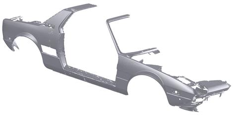
Parts
Assemblies
Automotive
Product Development
Reverse Engineering
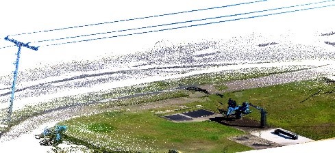
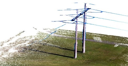
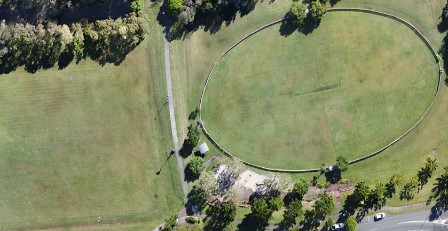
Remote Pilot Scan
Photogrammetry for terrain and built structures for surface/asset 3D modelling, hi-res imagery, measurement, planning and design
LiDAR for terrain and built structures for surface/asset 3D modelling, hi-res imagery, measurement, planning and design
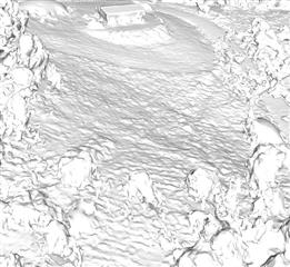
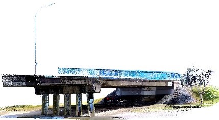
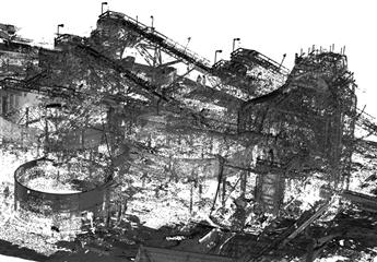
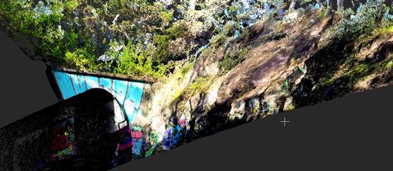
Terrestrial Scan
Stationary LiDAR for terrain and built structures for surface/asset 3D modelling, hi-res imagery, measurement, planning and design
Mobile LiDAR for terrain and built structures for surface/asset 3D modelling, hi-res imagery, measurement, planning and design
Terrestrial GNSS control of scans using base station, rovers and ground control points
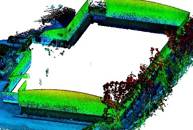
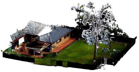
Digital Data Processing
Processing and modelling from scan data
A Team
Everytime
Design
Not Just Engineering
Listen
to Understand
Knowledge
to Provide Solutions
© Bell Engineering Group Pty Ltd 2024